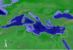
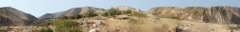
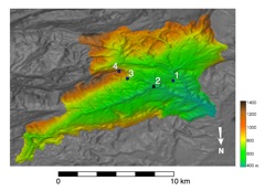
MedLand detailed study locations
|
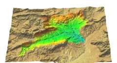
Rio Penaguila watershed
|
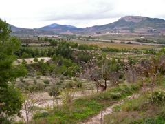
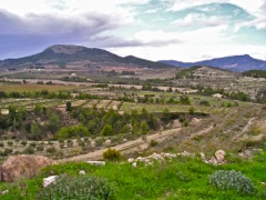
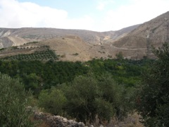
Penaguila valley (2003)
|
|
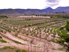
Penaguila valley (2003)
|
Penaguila valley (2003)
|
Penaguila valley (2003)
|
|
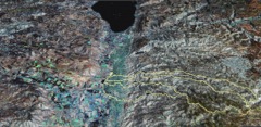
Wadi Ziqulab watershed (Landsat over SRTM)
|
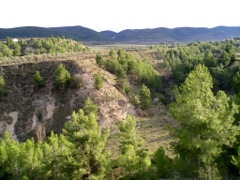
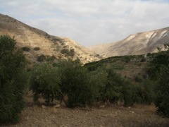
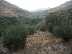
Wadi Ziqlab (2006) Photo by I Ullah
|
Wadi Ziqlab (2006) Photo by I Ullah
|
|
Wadi Ziqlab (2006) Photo by I Ullah
|
Wadi Ziqlab landscape. Photo by I Ullah
|
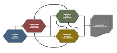
MedLand Modeling Laboratory
|
|
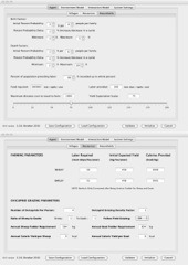
Medland Modeling Laboratory interface
|
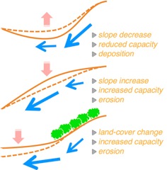
Modeling surface processes
|
Modeling surface processes
|
|
Paleoclimate modeling for the Levant
|
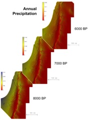
Space-time volume of precipitation over the Jordan valley 10k-6kbp
|
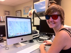
Digitizing landforms in 3D with anaglyph images
|
|
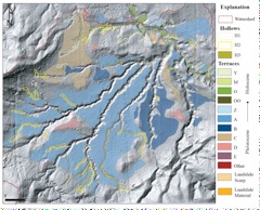
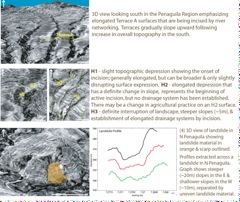
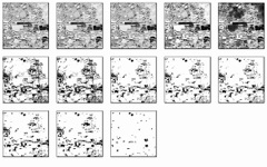
Penaguila landforms analysis (2007)
|
Penaguila landforms analysis (2007)
|
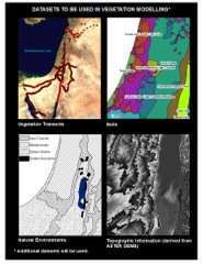
Vegatation modeling (2007)
|
|
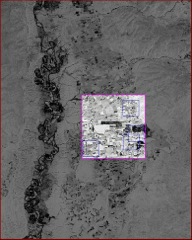
Using Corona images to ID archaeological sites
|
Using Corona images to ID archaeological sites
|
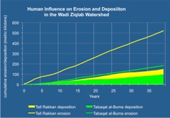
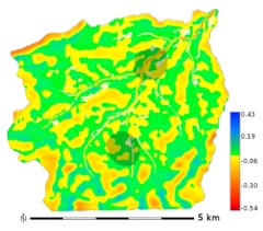
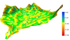
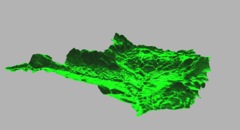
Modeling 40yrs of land-use and landscape change in the Wadi Ziqlab
|
|
Modeling 40yrs of land-use and landscape change in the Wadi Ziqlab
|
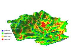
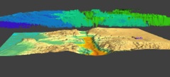
Penaguila valley. Modeled erosion/deposition after 50 yrs
|
Penaguila valley. Modeled erosion/deposition after 50 yrs
|
|
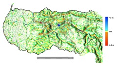
Reconstructed paleoterrain in the Penaguila valley
|
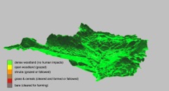
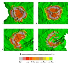
Penaguila valley. Modeled land-landuse & land cover after 10 years
|
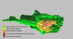
Penaguila valley. Modeled land-landuse & land cover after 100 years
|
|
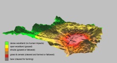
Penaguila valley. Modeled land-landuse & land cover after 500 years
|
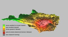
Penaguila valley. Modeled land-landuse & land cover after 1000 years
|
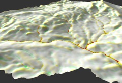
Modeling barranco incision in the Penaguila valley
|
|
Modeling socioecological impacts of site location
|
Modeling socioecological impacts of site location
|
|