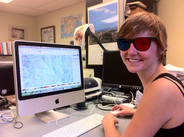
Digitizing landforms in 3D with anaglyph images
Latitude
33.420667˚ N
Longitude
111.93533˚ W
Location
Arizona State University, Tempe, Maricopa, Arizona, United States
Page: 18 of 35 (51%)