| Quantification of Event-scale Landscape Dynamics using Environmental Sensor Networks and Terrestrial LiDAR |
  |
Project Summary
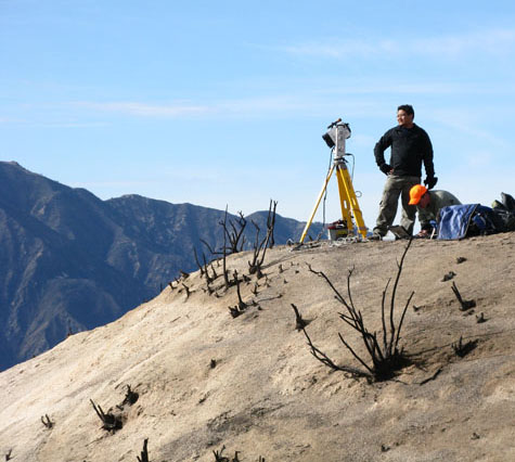
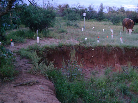
Personnel: Matthew Rossi Stephen DeLong (Ph.D.) Joel Johnson (Ph.D.) Determination of process-based mathematical approximations of surface processes is a central goal in geomorphology. Researchers have long recognized the value of quantitative field measurement and monitoring of both surface change and the processes that drive them. New technology has now become available that has the potential to revolutionize field geomorphology – converting well-chosen field sites into laboratories where even rare, short-duration events like overland flow in rangeland landscapes can be studied and quantified in detail. We propose to couple environmental sensor networks with repeat terrestrial LiDAR surveys to test hypotheses about active surface processes and their accompanying landscape change. It is now reasonable to combine off the shelf and custom equipment into detailed environmental sensor networks capable of precise measurement of a wide range of surface and near-surface characteristics and processes in real time and to monitor resulting landscape changes in detail over a large, morphologically complex area. These new technologies are both most needed and best employed in rapidly changing dryland environments such as alluvial channels, badland drainage basins, rangeland gullies and some disequilibrium bedrock channel settings, where landscape change is highly episodic but event-scale landscape change occurs reliably up to several times per year, and can provide insight into dynamics of active surface process if carefully studied. Gully networks and badland basins are ideal sites for monitoring active erosional processes because of their manageable size and their bearing on questions regarding the relative roles of subsurface and surface processes that initiate and perpetuate change in active landscapes. For instance, development of gully networks and gully head migration have been interpreted to be driven by various processes including interflow and groundwater sapping, excess overland flow, and plunge-pool erosion. We will deploy sensor networks that can test these hypotheses in real time during significant precipitation events. We will also test hypotheses related to development of discontinuous ephemeral stream systems, in which gully heads are just one important component. Small badland drainage basins offer the opportunity to quantify surface processes in small, coupled hillslope-channel systems and, with limitations, provide analogy to larger geomorphic systems. In both settings, we will deploy sensor networks that can measure precipitation, overland flow, soil moisture, channel discharge, local erosion and sedimentation in real time and at high temporal and spatial resolution. |
|
Sensor
Networks
& T-
LiDAR
|
Previous Projects |