GLG
362/598 Geomorphology
Surveying
Lab exercise: Introduction to and demonstration of Total
Station and handheld GPS.
Handouts:
"How it works" (explanation of Total Stations; note that not all figures
are included)
Examples of topographic and other maps produced with the instrument.
Total station specifications
Reference web site:
http://activetectonics.la.asu.edu/TotalStation/tc.html
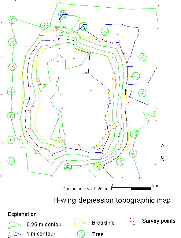
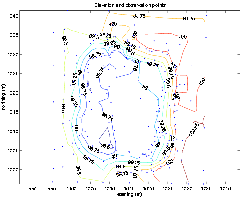
Laboratory exercise results
Here is the map our surveys using breaklines to help with the contouring:
Here is a map from Matlab (no breaklines); 25 cm contour interval:
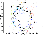
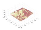
Here is a surface view from Matlab (slightly exaggerated--why it looks so bumpy--we
need more data):
here are the data. The columns are Memory block number,
survey type (116), Point number, Easting, Northing, Elevation, code.
GLG
362/598 Geomorphology