Seven Fridays in South Phoenix
Observations, Reflections, and
Photographs by Matthew Alan Lord
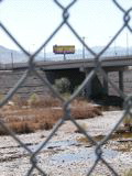
Riding the River,
Conclusion
Click Here for
Photo Galleries
Rio Salado
on the Internet
Dr. Koptiuch
provided us with links to the official City of Phoenix RSHRP website
and an online article entitled “THE RIO SALADO
PROJECT - THE REST OF THE STORY” that Steve Brittle, a local
activist, wrote in 1998. (I will not weigh in on the “Beyond the
Banks” planning effort here since my ride remained between the
banks.) Although he did not continue to use all caps in his take on
the then-proposed project, Mr. Brittle’s tone remained ardent, if
not conspiratorial throughout. Writing from a platform-or perhaps
pulpit-of environmental justice, he raised a number of valid
environmental and social concerns. Among these were insufficient
remediation of environmental contamination, birds colliding with
planes, and the introduction of mosquito-borne illnesses. The
mosquito population has been closely monitored, according to park
officials. Among the steps taken to combat them are keeping water
flowing instead of stagnant, introducing Gambusia fish that eat
mosquito larvae, and applying larvicide. If anything, it seems to
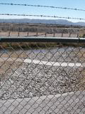
me the area needs to be concerned with mosquitoes from the enormous
abandoned gravel mining operations readily visible in the series of
aerial photographs.
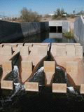
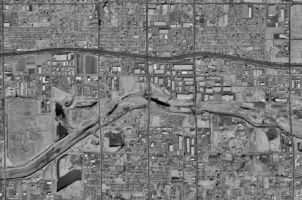
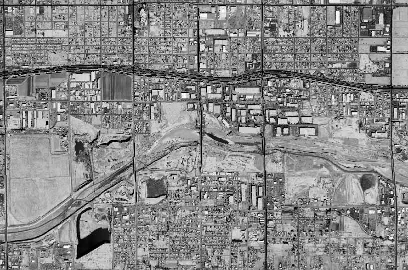
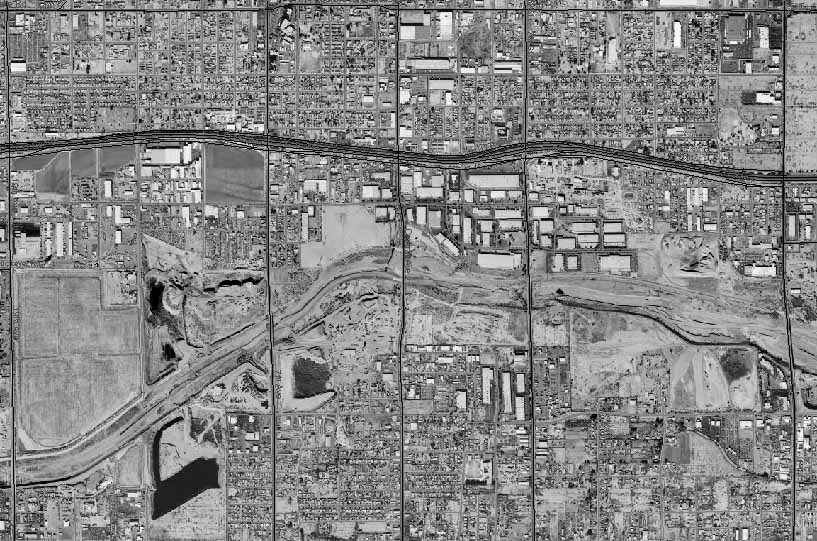
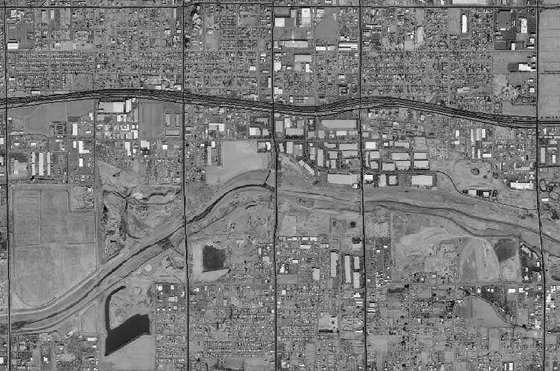
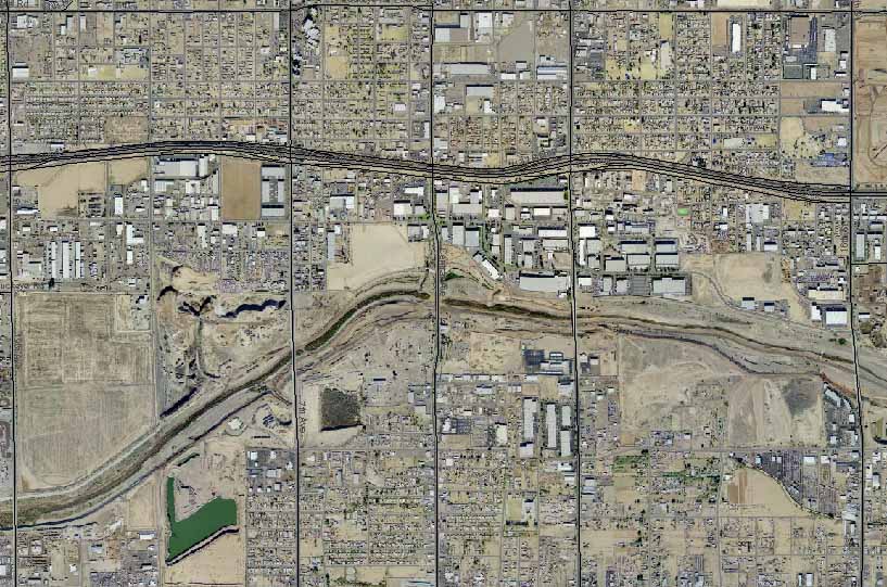
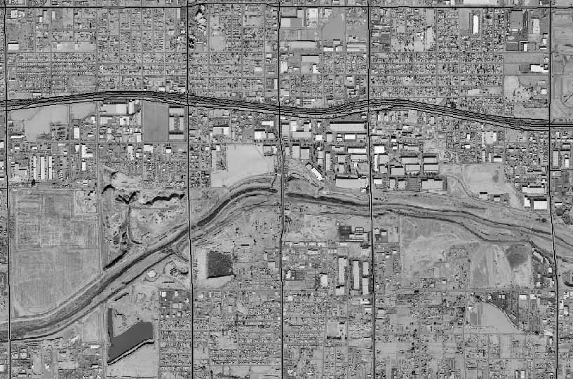
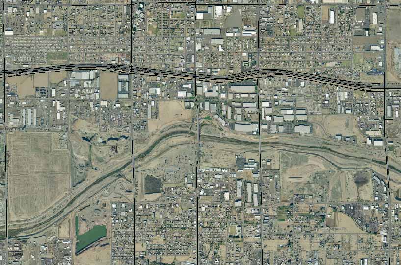
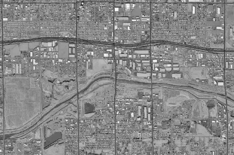
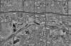
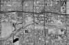
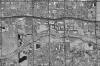
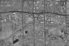
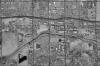
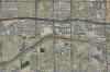
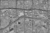
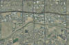
The table
below contains annual aerial photographs that were cropped from the
data set available at the Maricopa County Assessor’s website:
http://www.maricopa.gov/Assessor/GIS/Default.aspx. The
corresponding numbers beneath the thumbnails give the year the photo
was taken. Clicking on the
small images will take you to large versions.
|
 |
 |
 |
 |
 |
| 1999 |
2000 |
2001 |
2002 |
2003 |
|
 |
 |
 |
 |
|
| 2004 |
2004 B&W |
2005 |
2005 B&W |
|
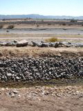
The project
has, in fact, reduced the footprint of these pits over time. In so
many words, Mr. Brittle also charged that the process used to shape
the RSHRP disenfranchised area residents and violated policies put
in place by the Clinton administration. I do not feel I have enough
evidence to judge the merits of these latter claims, but at least
some of his environmental concerns were addressed as the project has
unfolded.
The
City website describes the steps taken to combat mosquitoes, and the
RSHRP design will attract few birds on the end nearest the airport.
As for contamination, however, the website almost completely
whitewashes the area’s past and present hazards.
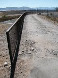
Given the
probable toxicity, it is probably a good idea that the park rules
include the following: “Swimming, bathing and/or wading
prohibited.” Instead of dealing directly with pollution,
however, the web pages weakly mention harmless sounding things like
“tons of old tires and other debris,” “surface debris,” “an
abandoned wasteland lined with trash and river cobble,” and the
vague “the damage (the riverbed) sustained.” Words like
“pollution,” “contamination,” “toxic waste,” etc., are conspicuous
by their absence. This strikes me as verbiage carefully chosen with
legal counsel so that no one technically is misled about what has
been cleaned up.
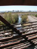
So
what is my bottom line on the RSHRP? Modest optimism. Most
importantly, I think South Phoenix residents gradually will claim
this place as their own. It does provide a break from the City.
Once you move away from the grand entry, however, that respite is in
a very immature, isolated, and bleak landscape. The RSHRP certainly
is not a restoration, but a constrained renovation with limited
remediation. My hunch is that most users will be local. After
trying it out once or twice, most people traveling to South Phoenix
for outdoor recreation will head to South Mountain Park, its other
borderland.
Politics is the art of the possible. It took 100 million dollars to
get this first phase completed. Although the cleanup probably did
not go far enough, it clearly is superior to having done nothing to
remedy the prior state of the river. If additional monies can be
secured, the Environmental Impact Study (EIS) process for the
western extension along Laveen’s northern border is slated for
2008-2010. Given the lessons learned from the RSHRP EIS and what I
know of Laveen, I expect the Rio Salado Oeste process would see much
greater citizen participation. Unlike the late 1990s when there was
a federal budget surplus and the RSHRP got the go-ahead, however,
the country faces tremendous deficits for the foreseeable future.
Barring substantially more state and local monies for the project,
expansion unfortunately will be delayed for quite some time.
Click Here for
Photo Galleries